Boundary-first screening
Normalize AOIs, extract public reference layers and identify data gaps before field work starts.
Ready for QGIS in under 48 hours.
Stop shipping raw point clouds. Get standardized tree crowns, canopy models and more – with full checksums and provenance. Delivered in OGC STAC under your brand.
Forest AI. Structural analytics. Evidence-ready delivery.
Four ways to win with forest data
Whether you fly drones, develop carbon projects, manage forests or prepare reference data, Terrametrica turns geospatial inputs into review-ready forest intelligence assets. One repeatable pipeline. QGIS-ready. White-labeled under your brand. Ready to scale into OGC STAC-native delivery.
One repeatable pipeline. Different inputs. Customer-ready outputs.
You already deliver imagery, point clouds and project geodata. Terrametrica turns those inputs into higher-value forest intelligence — tree and crown candidates, canopy context and QGIS-ready review layers — without days of manual GIS post-processing.
Add premium analytics to existing survey projects while keeping the client relationship and branded delivery.
First outcome: branded analytics package with orthomosaic, CHM and tree/crown candidates.
Start a UAV/GIS pilot→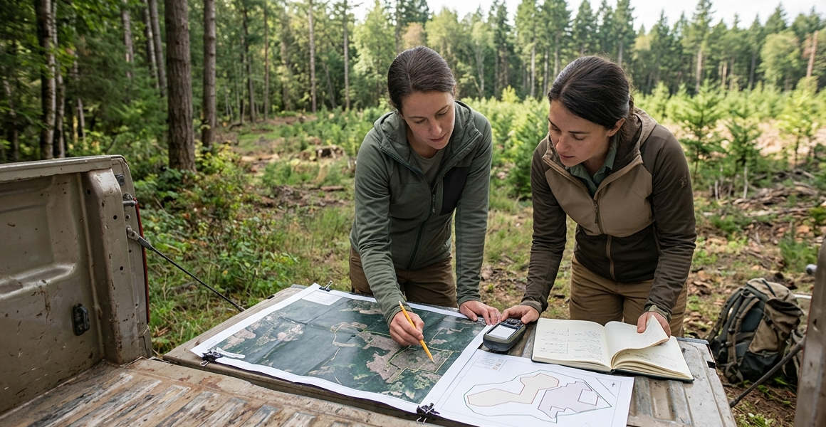
Early-stage projects need defensible spatial evidence before field validation or certification partners get involved. Terrametrica prepares GEDI-informed references, historical forest-change context, biomass-relevant layers and provenance-aware evidence packages.
Move from project boundary to screening package, field-planning context and evidence preparation faster.
First outcome: boundary-to-evidence package for screening and field planning.
Explore carbon workflows→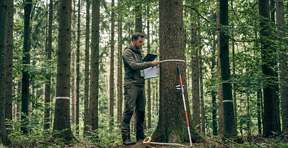
Forest decisions depend on more than raw imagery. Terrametrica generates tree and crown candidates, canopy-height context, density indicators and QGIS-ready inventory support layers for expert interpretation.
Reduce manual GIS interpretation effort and give forestry teams repeatable layers they can inspect, correct and reuse.
First outcome: QGIS-ready inventory layers with tree, crown and canopy structure context.
Explore inventory support→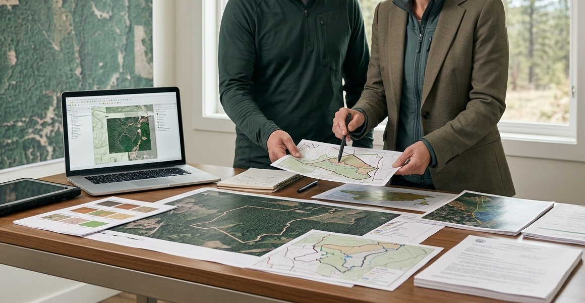
Due-diligence and sourcing workflows need clean AOIs, historical context, geolocation-ready reference layers and traceable source documentation. Terrametrica prepares EUDR-oriented reference assets, screening layers, data-gap notes and evidence-linked handoff packages.
Create structured reference packages for partner review, supplier discussions and internal due-diligence workflows.
First outcome: structured reference assets with AOIs, source context, data-gap notes and provenance links.
Explore reference workflows→Stop shipping file dumps.
Terrametrica generates tree, crown, canopy and project-level forest analytics, then structures every delivery around the OGC SpatioTemporal Asset Catalog (STAC), the open standard for making geospatial assets discoverable, interoperable and searchable by place, time and product context.
That turns Forest AI and analytics outputs into 100% OGC STAC-compliant assets your team can review, reuse, hand off and scale from downloadable packages into branded catalogs or APIs.
No AI team required
Terrametrica runs the AI, geospatial processing, OGC STAC delivery and evidence infrastructure behind the scenes. You keep the customer relationship, pricing, interpretation and branded handoff.
No ML team to hire. No model pipeline to maintain. No geospatial catalog infrastructure to build. You bring the customer, domain context and commercial offer — Terrametrica turns project data into professional forest intelligence outputs.
You retain customer access, pricing, project interpretation and the final branded handoff while Terrametrica operates behind the scenes.
Qualified white-label workflows can include NDA, data confidentiality, project data-use restrictions and customer non-circumvention terms.
Your client sees your brand. Terrametrica runs the engine.
Carbon & reference workflows
Start with a project boundary and receive a structured geospatial reference package for screening, field planning and evidence preparation — including historical forest-change context, GEDI-informed reference assets, biomass-relevant layers and EUDR-oriented source documentation.
Normalize AOIs, extract public reference layers and identify data gaps before field work starts.
Use canopy-structure and biomass-relevant reference layers to support early project screening.
Organize time-aware forest-change evidence for planning and partner review.
Prepare geospatial reference packages and source documentation for due-diligence workflows.
Terrametrica supports screening, planning and evidence preparation. Certification, validation and credit issuance remain with your qualified partners and validation bodies.
Pick your first pilot
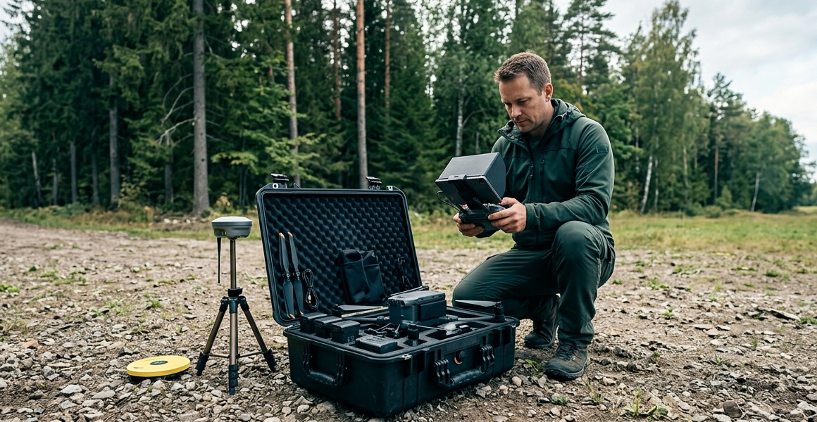
Start with drone imagery, LiDAR, existing geodata or just a project boundary. Terrametrica turns the available input into a focused pilot package your team can inspect in QGIS, hand off to clients and scale into OGC STAC delivery.
Turn orthomosaics into canopy context, treetop candidates, crown candidates and QGIS-ready review layers.
Convert LAS/LAZ or derived elevation data into terrain, surface, canopy-height and crown candidate assets.
Normalize existing rasters, vectors, boundaries and project layers into clean forest intelligence packages.
Use an AOI to create reference extracts, screening assets and data-gap notes before field work or drone acquisition.